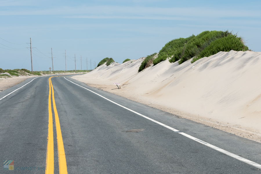
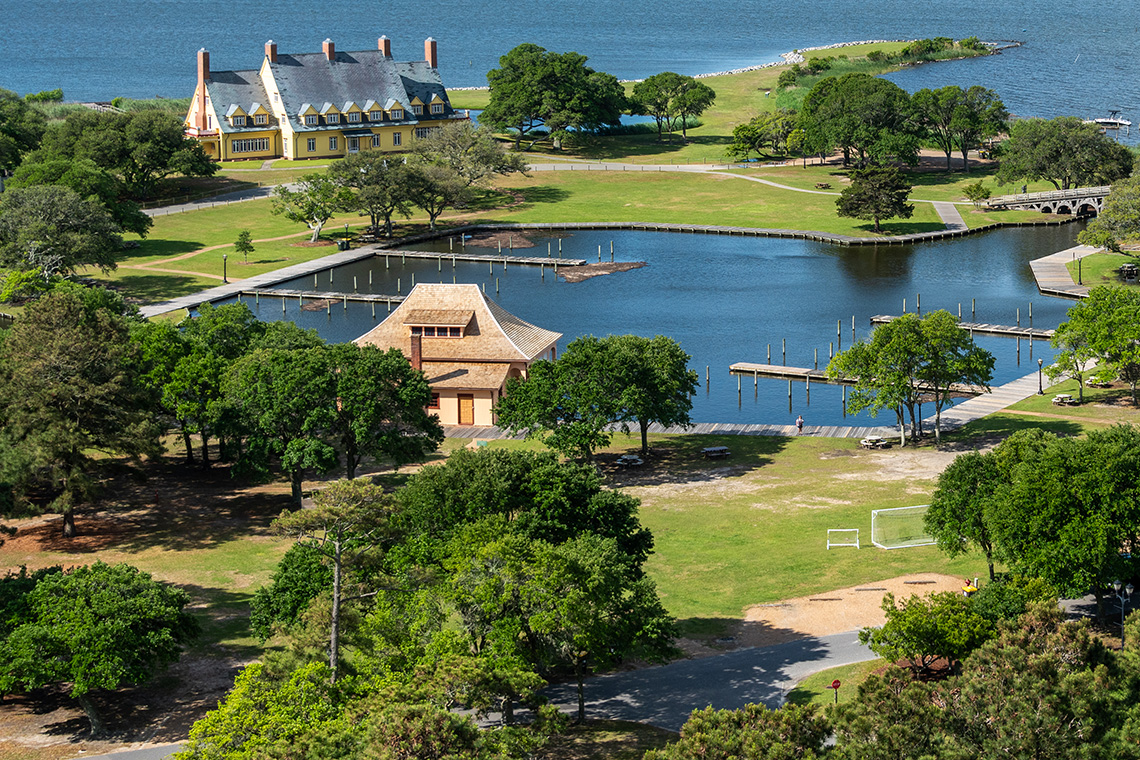
Take a long and lingering tour down the Outer Banks Scenic Byway, which includes two ferries, 21 coastal villages, and miles of breathtaking scenery in every direction. The Outer Banks Scenic Byway, known as one of the most beautiful stretches of pavement (and water) in North Carolina, is an attraction in and of itself, making it ideal for a relaxed day trip or weekend retreat where all of the adventures take place on the road.

About the Outer Banks Scenic Byway
The Outer Banks Scenic Byway was technically established in 2009 after years of hard work by a team of local residents along the Outer Banks. It is one of only 150 stretches of road in the country that is designated as a National Byway, and one of just a couple National Byways that are found within the state of North Carolina and the Eastern Seaboard region.
In 2016, the Outer Banks Scenic Byway received signs that marked the entrances of the byway, designated points of interest, and other unique elements of the highway that are worth exploring.
The byway extends for 138 driving miles and 25 ferry-traveling miles, and effectively crosses across several islands which includes Cedar Island, Ocracoke Island and Hatteras Island. The route also crosses two inlets as well as 21 distinct coastal villages along the way, each with their own appeal to vacationers.
The Outer Banks Scenic Byway has its own website as a resource for visitors, http://outerbanksbyway.com, as well as fliers and guides found at a number of stops throughout the area. Visitors can swing by visitors’ centers, ferry terminals, or other common destinations for vacationers to find detailed maps and more information on this unique road in the heart of coastal Carolina.

The Outer Banks Scenic Byway Route
The northern entry to the Outer Banks Scenic Byway is at Whalebone Junction, which is also known as the crossroads of US Highway 64 and Highway 158. This location just south of Nags Head marks the beginning of the byway and the Cape Hatteras National Seashore; from here, tourists will drive south, across the Bonner Bridge, and to the very southern tip of Hatteras Island.
Once reaching Hatteras Village (on the South end of Hatteras Island), guests will board a free vehicular ferry for a 1-2 hour cruise South to Ocracoke Island. After unloading, travelers can drive along the Outer Banks Scenic Byway South across Ocracoke Island, eventually arriving in the small and charming town of Ocracoke Village, located at the southern extremity of the small barrier island.
This is where the second ferry trip starts. Guests board the Cedar Island Ferry, which takes vehicles across the Pamlico Sound in roughly 2-3 hours. Then, a few miles along NC Highway 12 on Cedar Island, travelers can choose between two routes along the scenic byway. For a simple journey, continue along NC Highway 12 until you reach picturesque Beaufort NC, where the byway ends. Visitors can also take a scenic detour through Harkers Island by turning onto Shell Road / Harkers Island Road, which loops through the area and provides an excellent opportunity to explore a lovely coastal village.
The entire trip, including the two boats, can take at least 5-6 hours, so travelers should set aside a full day to explore. Furthermore, there are a number of lovely hotels, motels, campgrounds and/or RV parks, and vacation rentals along the way, so passengers are encouraged to make it a longer and more extended trip to stop and enjoy a breath of fresh sea air.

Reaching the Outer Banks Scenic Byway
There are multiple ways to reach and explore the Outer Banks Scenic Byway from the north, south, and western regions that boarder the North Carolina coastline.
From the West: Visitors can take US Highway 64 from Raleigh, Rocky Mount, and other inland regions to reach the northern entrance of the Outer Banks Scenic Byway. Travelers in the Morehead City / Beaufort area can also just follow US 70 to NC Highway 12 to reach the southern entrance.
From the South: Visitors will want to take US Highway 17 and / or US Highway 70 to the town of Morehead City and Beaufort, where they will connect with NC Highway 12 and the Outer Banks Scenic Byway.
From the North: Visitors can cruise down US Highway 158 through Currituck County and the central Outer Banks towns of Kitty Hawk, Kill Devil Hills, and Nags Head, before reaching Whalebone Junction and the northern Highway 12 entrance of the Outer Banks Scenic Byway.
Points of Interest along the Outer Banks Scenic Byway
It should come as no surprise that the Outer Banks Scenic Byway is dotted with a wealth of attractions that include four lighthouses, multiple museums, and other unique points of interest. These destinations are often marked with signs such as “Museum” or “Lighthouse,” but visitors will nevertheless want to keep an eye out for the following spots – (from north to south) - that make any byway exploration a lot more educational, and a lot more fun.

Bodie Island Lighthouse – Located on Pea Island, the Bodie Island Lighthouse is notable for its horizontal black and white stripes.

Pea Island National Wildlife Refuge – This stretch of island extends from the Bonner Bridge all the way to the Rodanthe town borders and is a popular birding destination.

Chicamacomico Lifesaving Station – This historic 19th century life-saving station is one of the best intact examples of a life-saving station in the United States.

Canadian Hole – This soundside beach in between Avon and Buxton is a famous destination for kiteboarders and windsurfers from all over the world.

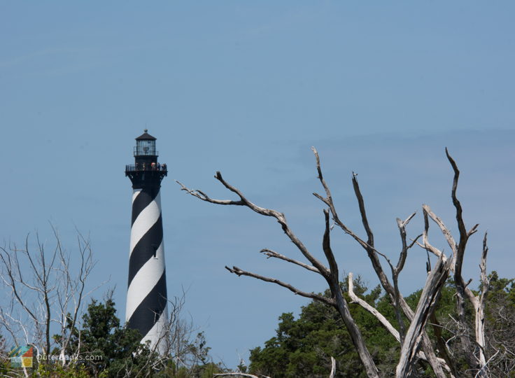
Cape Hatteras Lighthouse – Situated in Buxton, the Cape Hatteras Lighthouse is the tallest brick lighthouse – and one of the most famous lighthouses – in the world.

Graveyard of the Atlantic Museum – This museum that focuses on the hundreds of shipwrecks that have occurred on the Outer Banks over the centuries is located next to the Hatteras Ferry Docks.

Ocracoke Lighthouse – Situated in the heart of Ocracoke Village, this short, white lighthouse is one of the oldest lighthouses along the NC coastline.

Ocracoke Village – At just four square miles, Ocracoke Village is one of the most charming and isolated coastal towns in North Carolina.

Core Sound Waterfowl Museum and Heritage Center – This Harkers Island museum pays homage to the roots of the hunting and fishing industries that the region is renowned for.

Cape Lookout Lighthouse – Located just offshore of Cedar Island, this lighthouse can only be reached by a ferry or personal vessel. Ferries depart from multiple locations, including the towns of Harkers Island, Atlantic, and Davis.
Gorgeous throughout, the Outer Banks Scenic Byway truly showcases the best of the North Carolina coastline from start to finish. A scenic drive that can be enjoyed in a day, a weekend, or a full week’s vacation, this “highway” that encompasses both pavement and open water deserves its reputation as one of the most gorgeous drives in the United States.


